For those people who would like to know the details:

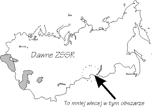
The mountains of Asiatic Russia, situated between Altay and Baikal, contain many parallel and criss-crossed mountain ranges, and many enclosed craters. The mountains were formed during the Precambrian and Paleozoic periods. They were folded during the Baikal and Caledonian orthogenesis. The mountains were morphologically regenerated as a result of tertiary and quaternary tectonic plate compactions. The range is divided into two areas. The Western Sayanys with its highest peak 'Kyzyl Taiga' 3131m above sea level, and The Eastern Sayanys, with its highest point 'Munku Sardyk' at an altitude of 3491m. These two regions are separated by 'Minusinska', 'Todzynska' and 'Tuwinska' craters. In the highest sections, there are very steep slopes, and innumerable remains of past glaciers. These are divided by the valley of the river Yenisay, and its many tributaries. The Sayanys are a Taiga region, with forests of spruce, fir, larch and Siberian limba. The deep, covered valleys are steeply stepped, and above the tree-line (1600m in the West and 2100m in the East) is tundra and fields of rolling stones (kurums). Also in this region are many mineral water springs.
Encyklopedia powszechna PWN
 To The Sayanys